



Bộ Chữ Cái và Số In 3D: Giáo Cụ Học Tập Hấp Dẫn Cho Bé
 BygillisLikes121Downloads2.1K
Build another version of this model.
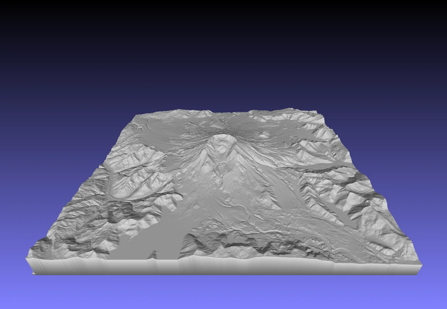
Mount St. Helens — 3D Terrain Model
This 3D model represents the topography of Mount St. Helens (Washington, USA), generated from a 1-meter resolution Digital Elevation Model (DEM) from the U.S. Geological Survey (USGS) 3D Elevation Program (3DEP) and distributed by OpenTopography.
Data Source:
United States Geological Survey (2021). United States Geological Survey 3D Elevation Program 1 meter Digital Elevation Model. Distributed by OpenTopography. https://doi.org/10.5069/G9NP22NT. Accessed 2026-03-04.
BygillisLikes121Downloads2.1K

 ByzoltanfLikes73Downloads277

 ByHonzalLikes246Downloads179

 ByBoonby_1059917Likes659Downloads1.2K

 ByFabianVeileLikes414Downloads1.5K

 ByATBOT_7809Likes16Downloads263

 Bytater-zoidLikes0Downloads111

 ByMarciLikes87Downloads295

 Bystrifu_4061046Likes151Downloads1.3K


 Byleizerdesign_249154Likes62Downloads801

 ByNickBuchele_1578568Likes58Downloads105