



Mô hình nhân vật Minifig kiểu Lego 3D độc đáo
 ByGuidoL_547152Likes227Downloads2.4K
Build another version of this model.
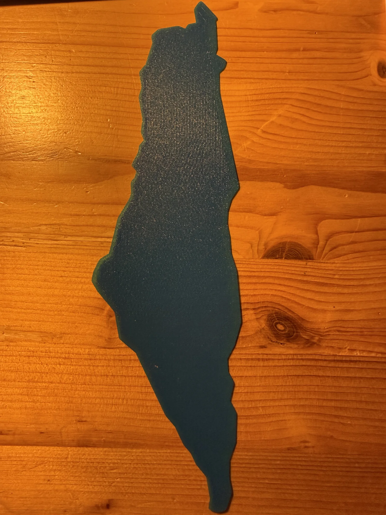
This model traces the outline of the British Mandate for Palestine, a land whose borders on this map capture only a brief chapter in a history stretching back thousands of years — through Canaanite, Israelite, Roman, Byzantine, Islamic, Crusader, and Ottoman eras, each leaving its mark on the region's cities, terraces, and stone.
Between 1920 and 1948, this territory was home to a diverse population — Arab and Jewish communities, Muslims, Christians, Druze, and others — living amid rapid change: waves of migration, growing cities like Jaffa, Haifa, and Jerusalem (Al-Quds), and a landscape caught between empire and emerging national movements. It was a period that shaped the modern Middle East and whose consequences are still deeply felt today.
This piece is offered as a way to hold a specific historical moment in your hands — a reminder that maps are never just lines, but records of the people who lived within them.
ByGuidoL_547152Likes227Downloads2.4K

 ByPeterG_3243357Likes419Downloads2.1K

 ByMitch_1027368Likes65Downloads279

 ByabbymathLikes214Downloads2.1K

 ByAdrianSkaba_564069Likes292Downloads988

 ByMichaelTaylo_2902200Likes28Downloads125

 ByRaisinCosplay_433034Likes260Downloads954

 ByHeinerKrallm_2777937Likes120Downloads486

 By3DPrintyi_1274687Likes106Downloads402

 ByVrimech_968116Likes44Downloads371

 ByschiferlLikes70Downloads283

 ByRean91_1007000Likes38Downloads220