



New
Whole alphabet
 Byandrej-bLikes0Downloads180
Build another version of this model.
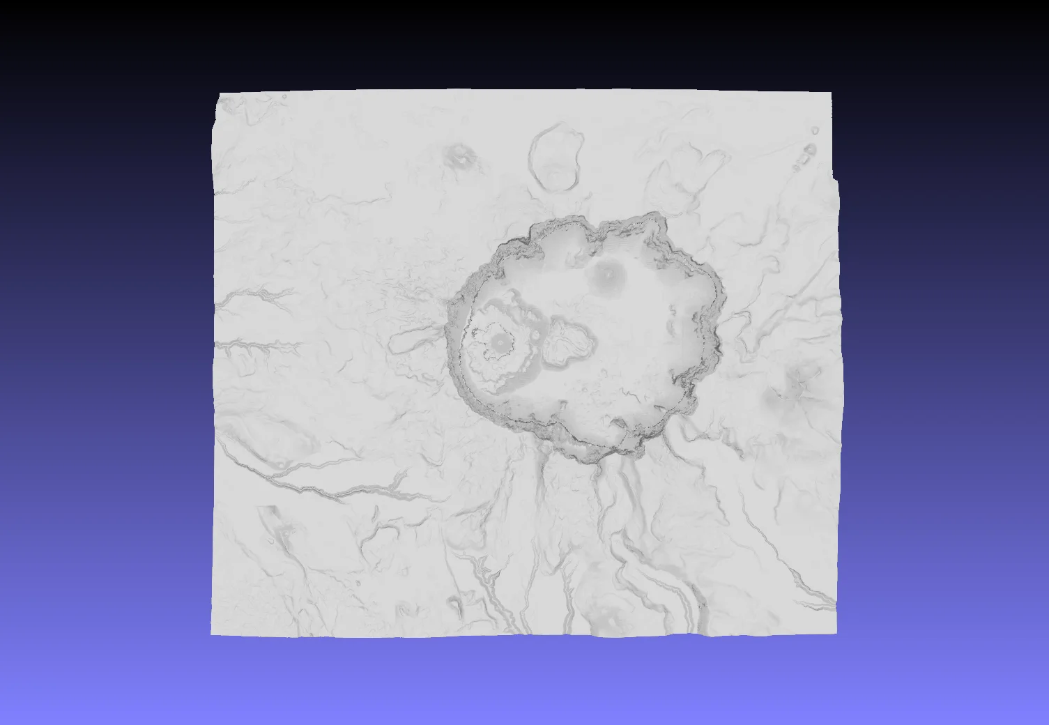
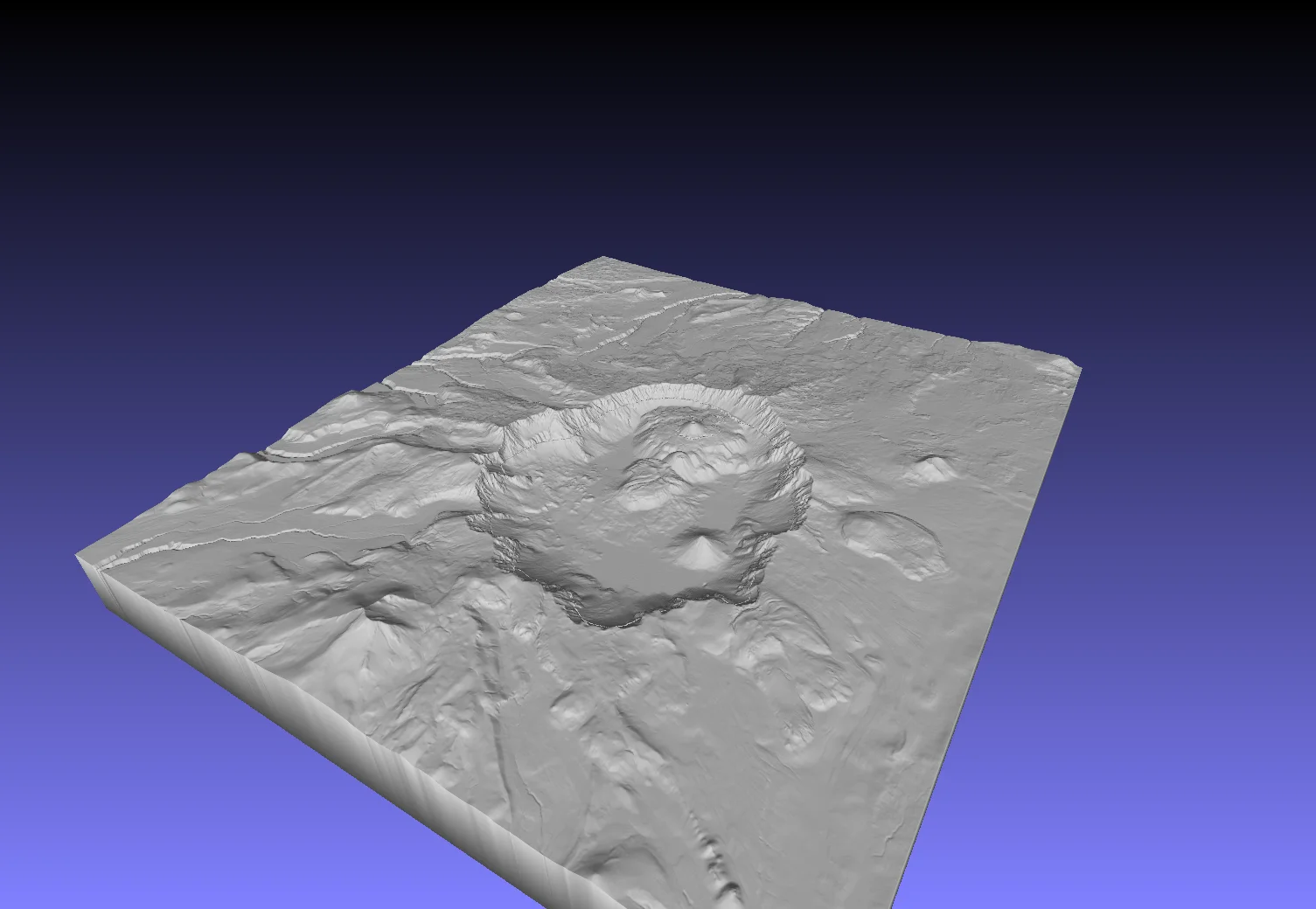
Crater Lake, Oregon — 3D Terrain Model
This 3D model represents Crater Lake National Park and vicinity (Oregon, USA), generated using high-resolution elevation and bathymetry datasets and processed in QGIS. The model integrates multibeam sonar bathymetry (July 2000 survey) and high-resolution topographic elevation data (LiDAR survey, Aug–Sep 2010) to visualize the lake basin and surrounding landscape.
Data Sources:
Gardner, J.V., and Dartnell, P., 2001. 2000 Multibeam sonar survey of Crater Lake, Oregon—Data, GIS, images, and movies (Version 1.0). U.S. Geological Survey Data Series 72. https://doi.org/10.3133/ds72
Robinson, J.E., 2012. High-resolution digital elevation dataset for Crater Lake National Park and vicinity, Oregon, based on LiDAR survey of August–September 2010 and bathymetric survey of July 2000. U.S. Geological Survey Data Series 716. (Available at https://pubs.usgs.gov/ds/716/.)
Byandrej-bLikes0Downloads180

 BygillisLikes121Downloads2.1K

 ByzoltanfLikes73Downloads281

 ByHonzalLikes246Downloads184

 ByBoonby_1059917Likes659Downloads1.2K

 ByFabianVeileLikes414Downloads1.5K

 ByATBOT_7809Likes16Downloads268

 Bytater-zoidLikes0Downloads117

 Bycarlos-lunaLikes0Downloads222

 ByMarciLikes87Downloads300

 Bystrifu_4061046Likes151Downloads1.3K
