



Mẫu tranh treo tường nghệ thuật phong cảnh thiên nhiên Nature Decor
 ByCodyMeyer_2545340Likes163Downloads724
Build another version of this model.
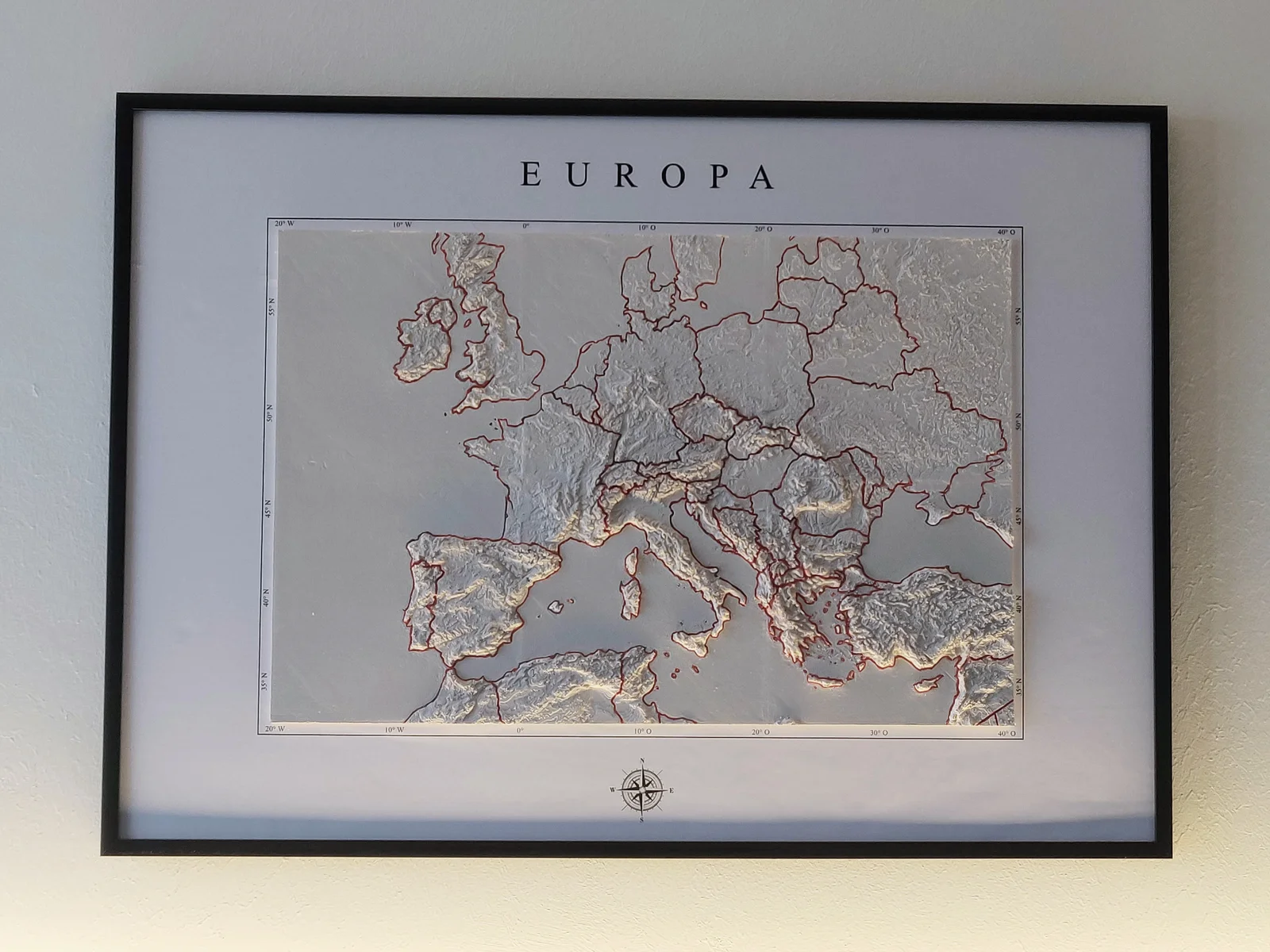
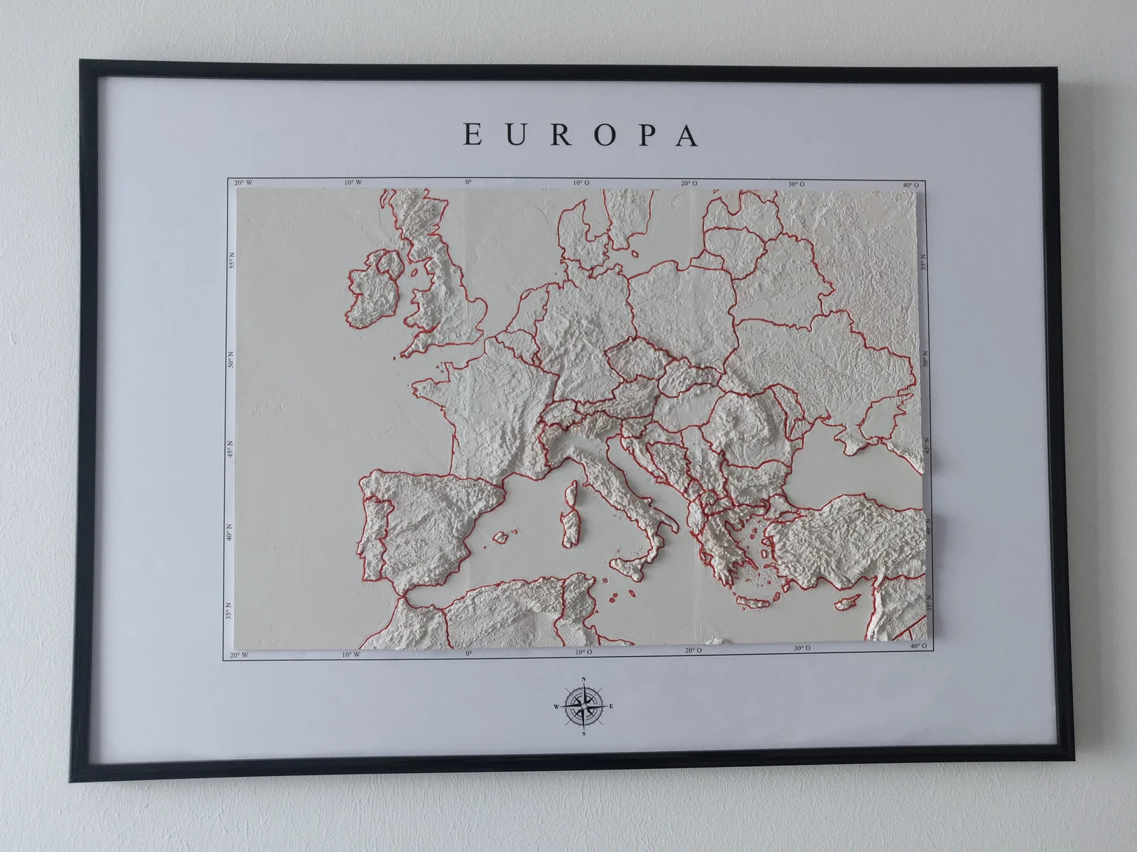
This 3D printable relief map of Europe is a detailed model that depicts the physical features of the continent, including its mountains, valleys, and plains. The map is based on topographical data, providing an representation of the elevation and contours of the land (Small altitudes were pushed to be higher for better 3D effect).
The country outlines are engraved into the surface and can easily be traced in color for better visibility.
I printed my version in 6 14x14 cm tiles on an Ender 2 Pro. For those of you with giant printers, i also included the full map in one piece :) (Also as a 5 percent version with only 5% of vertices, which makes it much easier to handle but still looks good.)
The biggest problem i had while printing was the warping of the edges. This probably can be solved with the right printer settings or by using a brim. If i printed this model again, i would make sure the edges don't warp so the tiles fit together perfectly and don't need to be sanded, filled and painted.
For those that want to recreate my exact version, i included the backdrop (English: Europe and NESW compass directions, German: Europa with NOSW compass directions.) I had to remove the compass at the bottom because of copyright.
The map and backdrop fit a Din A2 (420x594mm) size frame if the tiles are printed in 14x14 cm.
This is how I created my framed version:
I look forward to seeing your prints and remixes of this map.
ByCodyMeyer_2545340Likes163Downloads724

 ByDrewmundLikes833Downloads4.6K

 ByFastRaccoon_718321Likes461Downloads1.5K

 Bykallekubinsk_3569049Likes37Downloads186

 Byr_squared_1123188Likes89Downloads198

 ByMrCoolGaming_2947996Likes47Downloads175

 Bybychr1s_568275Likes243Downloads187

 ByCederbLikes32Downloads185

 ByTomYumLikes33Downloads159

 ByvexanixLikes168Downloads1.3K

 Bymay3dLikes0Downloads599

 ByIvoLikes196Downloads1.1K